Have you heard?
Landgate has recently launched 'Locate' - a new, no-cost mapping service using the Google Earth and Google Maps platforms. The website is run form Western Australia.
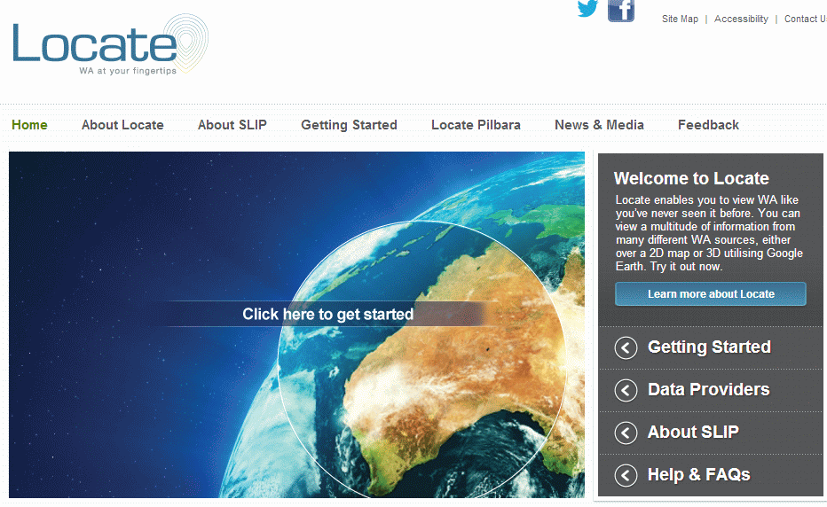
What Locate does is combines Google Earth and Google Maps images with government-sourced data on property boundaries, sales information, Water Corporation assets (such as sewers) and additional government data (although no local government data - yet)
Locate.wa.gov.au is increasing in popularity ever since the former favourite, nearmaps.com, started charging for subscription.
Locate also provides real time satellite updates on the location and severity of fires across Western Australia using land detection and monitoring satellites every few hours, so it’s a great complement to the DFES website.
You can get started with using Locate on the website.